Geographic Perspectives on Disaster Risk Management, 1st Edition
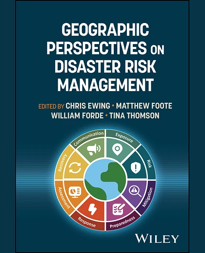
Geographic Perspectives on Disaster Risk Management, 1st Edition
Summary
A holistic view of geospatial data and analysis across the risk management lifecycle Geospatial data and analytical tools are widely used for disaster management, insurance, humanitarian response, and defence—yet methodologies remain siloed. Geographic Perspectives on Disaster Risk Management , written by a team of experienced practitioners in catastrophe risk analytics and geospatial studies, connects these sectors by comparing approaches, identifying common challenges, and distilling cross-sector best practices for preparation, response, recovery, and mitigation. Structured around the disaster risk cycle, the book addresses exposure and vulnerability mapping, risk preparedness and mitigation strategies, event monitoring, damage assessment, resilience building, and risk communication. It draws on data sources ranging from local traffic cameras to geostationary satellites and