Mapping Partition - Politics, Territory and the End of Empire in India and Pakistan, 1st Edition
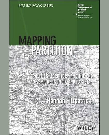
Mapping Partition - Politics, Territory and the End of Empire in India and Pakistan, 1st Edition
Summary
MAPPING PARTITION “A hugely productive partnership between geography and history, ‘Mapping Partition’ does a great service to the field of Partition studies - it leaves us in no doubt about both the long-term cartographical processes that contributed to how South Asia was divided in 1947, and the importance of bringing a geographer’s insights to bear on this complex history of boundary making.” Professor Sarah Ansari, Professor of History (South Asia), Royal Holloway University of London “Fitzpatrick produces spatial readings of partition’s knowledge formations, geopolitical imaginaries, administrative cartography, and legal geographical expertise. These enrich the histories and geographies of partition through painstaking archival, textual, and visual analysis which will resonate far beyond historical geography and South Asian studies.” Professor Stephen Legg, Professor of H