Remote Sensing of Water-Related Hazards, 1st Edition
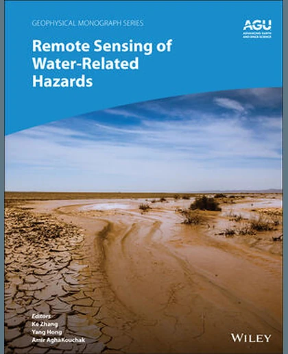
Remote Sensing of Water-Related Hazards, 1st Edition
Summary
Applications of remote sensing technology for monitoring and predicting water-related hazards Water-related hazards such as floods and droughts have serious impacts on society. Their incidence has increased in recent decades, a trend set to continue with ongoing climate change. Adaptation and mitigation measures require accurate detection, monitoring, and forecasting, much of which comes from remote sensing technologies. Remote Sensing of Water-Related Hazards takes an interdisciplinary approach, presenting recent advances in the available data, sensors, models, and indicators developed for monitoring and prediction. Volume highlights include: Progress in remote sensing of precipitation, storms, and tornados Different techniques for flood mapping, forecasting, and early warning Integrated approach for predicting flood and landslide cascading hazards Satellite monitoring of wa