Sustainable Development Using Geospatial Techniques, 1st Edition
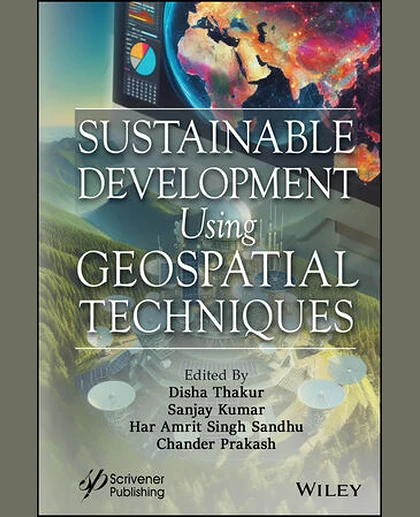
Sustainable Development Using Geospatial Techniques, 1st Edition
Summary
This book is a must-have for anyone interested in leveraging geospatial technology, as it covers a wide range of applications and offers valuable insights into the mapping, visualization, and analysis of natural resource planning using GIS, remote sensing, and GPS. Geospatial technology (GT) is a combination of geographic information systems (GIS), remote sensing (RS), and the global position system (GPS) for the mapping, visualization, and analysis of natural resource planning. Nowadays, GIS is widely used throughout the globe for a wide range of applications. GIS is a system that combines locations, geography, hardware, software, statistics, planning, and digital mapping. GIS is a system in which one can store, manipulate, analyze, and visualize or display spatial data. The basic components of GIS are hardware, software, data, input, and manpower. One can develop spatial, t