Multi-Dimensional Imaging with Synthetic Aperture Radar, 1st Edition
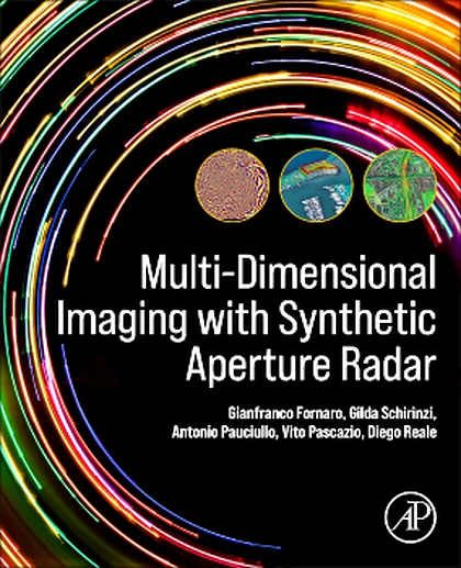
Multi-Dimensional Imaging with Synthetic Aperture Radar, 1st Edition
Summary
Multi-Dimensional Imaging with Synthetic Aperture Radar: Theory and Applications provides a complete description of principles, models and data processing methods, giving an introduction to the theory that underlies recent applications such as topographic mapping and natural risk situational awareness – seismic-tectonics, active volcano, landslides and subsidence monitoring - security, urban, wide area and infrastructure control. Imaging radars, specifically Synthetic Aperture Radar (SAR), generally mounted onboard satellites or airplanes, are able to provide systematic high-resolution imaging of the Earth's surface. Recent advances in the field has seen applications to natural risk monitoring and security and has driven the development of many operational systems.