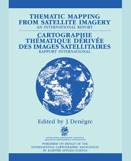
Thematic Mapping from Satellite Imagery: A Guidebook, 1st Edition
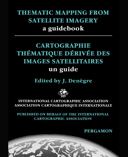
Thematic Mapping from Satellite Imagery: A Guidebook, 1st Edition
Summary
Thematic Mapping from Satellite Imagery: A Guidebook discusses methods in producing maps using satellite images. The book is comprised of five chapters; each chapter covers one stage of the process. Chapter 1 tackles the satellite remote sensing imaging and its cartographic significance. Chapter 2 discusses the production processes for extracting information from satellite data. The next chapter covers the methods for combining satellite-derived information with that obtained from conventional sources. Chapter 4 deals with design and semiology for cartographic representation, and Chapter 5 presents examples of applications. The book will be of great use to cartographers who want to utilize satellite imaging in generating a map.