Fundamentals of Capturing and Processing Drone Imagery and Data
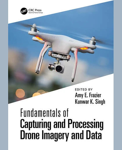
Fundamentals of Capturing and Processing Drone Imagery and Data
Summary
Unmanned aircraft systems (UAS) are rapidly emerging as flexible platforms for capturing imagery and other data across the sciences. Many colleges and universities are developing courses on UAS-based data acquisition. Fundamentals of Capturing and Processing Drone Imagery and Data is a comprehensive, introductory text on how to use unmanned aircraft systems for data capture and analysis. It provides best practices for planning data capture missions and hands-on learning modules geared toward UAS data collection, processing, and applications.
FEATURES
• Lays out a step-by-step approach to identify relevant tools and methods for UAS data/image acquisition and processing.
• Provides practical hands-on knowledge with visual interpretation, well-organized and designed for a typical 16-week UAS course offered on college and university campuses.
• Suitable for all levels of readers and does not require prior knowledge of UAS, remote sensing, digital image processing, or geospatial analytics.
•
Includes real-world environmental applications along with data interpretations and software used; exercises in chapters 8 through 19 have support materials for free download.
• Combines the expertise of a wide range of UAS researchers and practitioners across the geospatial sciences.
This book provides a general introduction to drones along with a series of hands-on exercises that students and researchers can engage with to learn to integrate drone data into real-world applications. No prior background in remote sensing, GIS, or drone knowledge is needed to use this book. Readers will learn to process different types of UAS imagery for applications (such as precision agriculture, forestry, urban landscapes) and apply this knowledge in environmental monitoring and land-use studies.