Geographic Information Systems (GIS) for Disaster Management
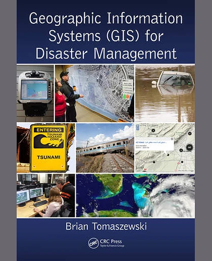
Geographic Information Systems (GIS) for Disaster Management
Summary
Geographic Information Systems (GIS) provide essential disaster management decision support and analytical capabilities. As such, homeland security professionals would greatly benefit from an interdisciplinary understanding of GIS and how GIS relates to disaster management, policy, and practice. Assuming no prior knowledge in GIS and/or disaster ma