Cretaceous and Tertiary Stratigraphy of the Elk Neck Area, Northeastern Maryland: Elk Neck State Park, Maryland, July 12, 1989, 1st Edition
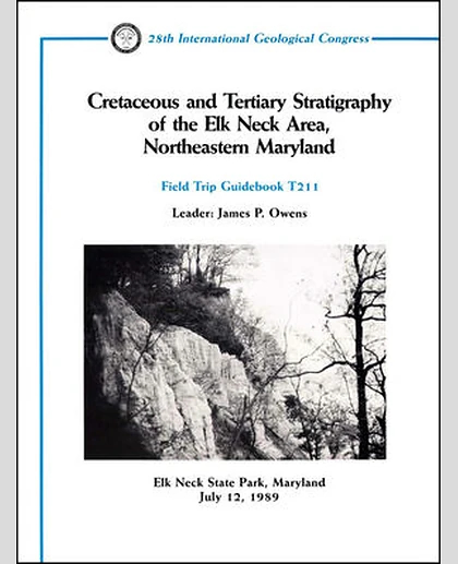
Cretaceous and Tertiary Stratigraphy of the Elk Neck Area, Northeastern Maryland: Elk Neck State Park, Maryland, July 12, 1989, 1st Edition
Summary
Description Published by the American Geophysical Union as part of the Field Trip Guidebooks Series, Volume 211. Elk Neck is a small peninsula which lies at the northern end of the Chesapeke Bay. This peninsula is an erosional remnant of a once more widespread Coastal plain. The peninsula is relatively small, approximately 13 miles long and 5.5 miles wide at its widest point. Elevations within the peninsula range from sea level to just over 300 feet above sea level. The west side of the peninsula is characterized locally by steep bluffs and numerous landslides. Because of the continued sluffing in the land slide areas, the exposures continually are alternately covered or uncovered, and the sections shown in this report may not be the same when the field trip is run. The east side of the peninsula is less precipitous than the west side. Here the land surface descends more gradually to the